1969 and 1970 - Puketutu
|
These circles form specific incidents in a local spate of unusual ground markings. Several circles of burnt or discoloured grass were reported in 1969 and 1970, but among them were three cases of "flattened" rushes, which reports at the time indicated were "swirled". These are also recorded as "burnt-out", so there is some evidence that the other "burnt" circles might in fact be of the same nature as these, although we confine our interest to the "swirled" ones only. |
|
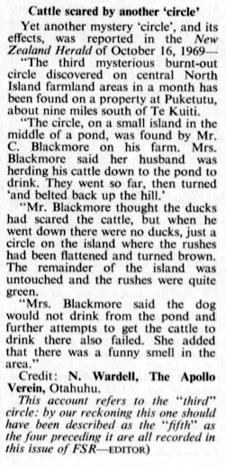
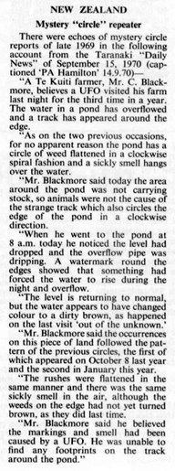
In the reports, left, which are from Flying Saucer Review (vol 16, no 2, 1970 and vol 17, no 1, 1971) we read first of a circle from October 1969, on an island situated in the middle of a pond: "[There was] a circle on the island where the rushes had been flattened and turned brown." This is interesting, for the browning was interpreted as burning, but might merely be a case of the rushes dying after having been flattened, again making us wonder whether the other "burnt" circles were of a similar type. The subsequent report (near left) provides some additional information and states: "The pond has a circle of weed flattened in a clockwise spiral fashion... the rushes were flattened in the same manner [as the earlier cases]" |
We have to do a bit of deduction to get the facts from these reports. The second article states that this circle was the "third" to appear on the same farm. It dates the first, which is the one featured in the earlier cutting, to October 8, 1969 (the earlier cutting mentions a newspaper report on October 16, which is consistent) and an intervening one from January 1970. The third and last was reported in the press in mid-September 1970, giving us an approximate date for that too. All three circles are said to be of the same general nature, characterised as "flattened in a clockwise spiral".
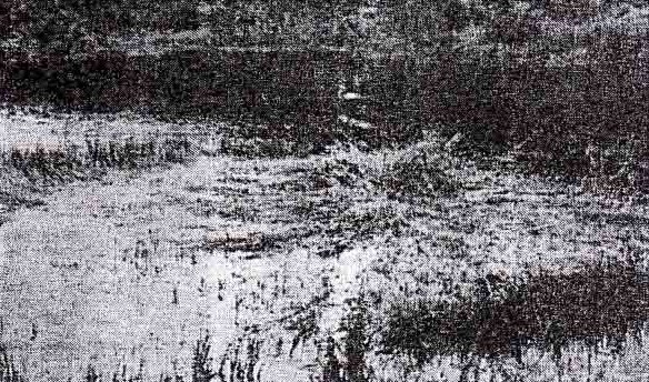
Bearing in mind this was published in 1970, long before modern crop circles were known, these details are strong evidence. We also have the photograph at the top of this page, which shows one of the "nests" although it is not clear which. The photo isn't too good, but there is certainly some kind of flattened floor within the area, possibly with a standing part in the middle.
Bearing in mind this was published in 1970, long before modern crop circles were known, these details are strong evidence. We also have the photograph at the top of this page, which shows one of the "nests" although it is not clear which. The photo isn't too good, but there is certainly some kind of flattened floor within the area, possibly with a standing part in the middle.
Location
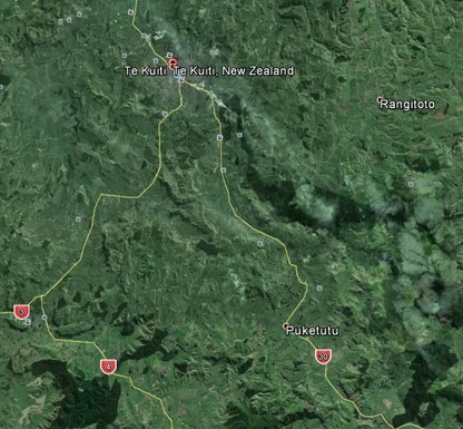
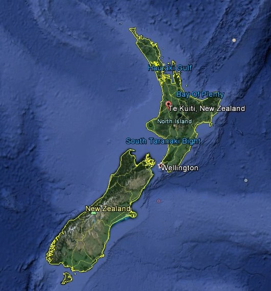
Puketutu is located in deep countryside on New Zealand's North Island. The nearest town, Te Kuiti, is about 10 miles north. Apart from locating Puketutu on the map, there are no details which would allow us to pin down the exact circle sites.
