1977 - Eagle, Alaska
|
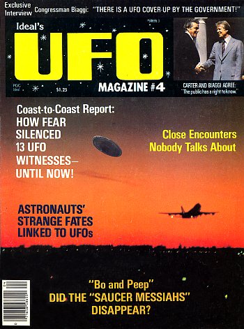
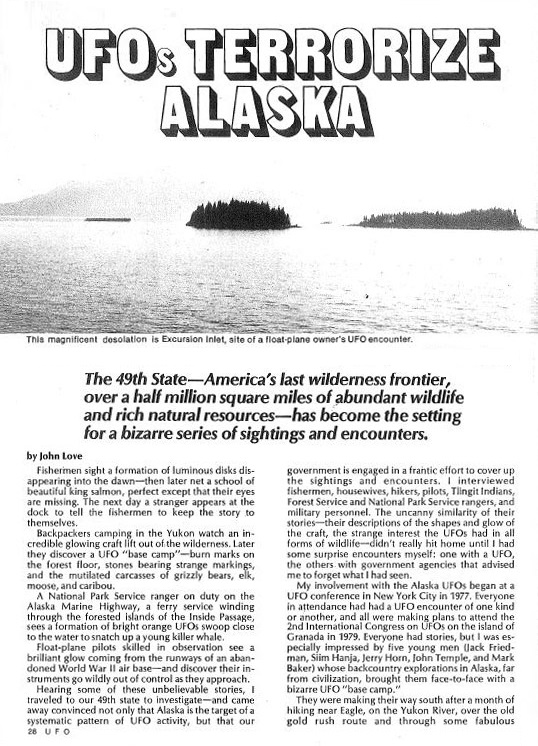
This circle is one of a very few known from Alaska, the mainly snow-covered outpost of the USA close to the North Pole. It was reported in issue 4 of Ideal's UFO Magazine which was published in December 1978. The circle report was included in a six-page paper called "UFOs Terrorize Alaska” by John Love, which recounts some extraordinary tales of UFO activity from a witness named Jack Friedman. As ever, we will park these stories to one side and concentrate on the circle of flattened grass... |
|
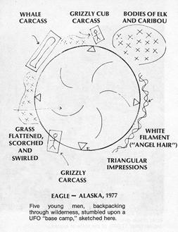
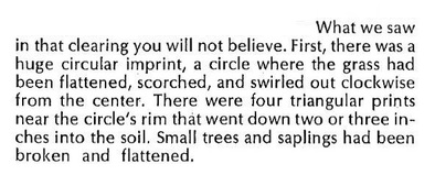
It is believed that the event took place during 1977 - certainly, that was when the author first heard the story. Jack Friedman's eye-witness statement reads, "There was a huge circular imprint, a circle where the grass had been flattened, scorched, and swirled out clockwise from the center." There was also a note of triangular imprints in the soil. As if this were not strange enough, there were also several different animal bodies in the vicinity. The drawing, right, was included in the original magazine article. It shows the circle clearly defined, and also indicates unmistakably, the swirl of the grass on the floor. It is not clear whether this is Friedman's sketch or something based on his descriptions, but either way, it's of much significance. Once again we have a report published long before the crop circle phenomenon was established in the public mind - in this case in 1978. The witnesses clearly describe - to all intents and purposes - the same features we are used to seeing in ordinary crop circles. |
Location
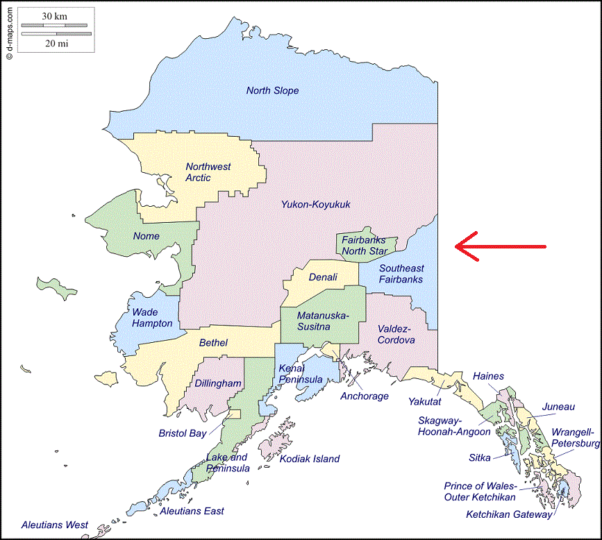
The location is close to the Yukon River in the area around the town of Eagle, which lies in the Southeast Fairbanks borough of Alaska. The circle appeared during the summer. The maps below indicate the general location. Below left we see Southeast Fairbanks, in eastern Alaska.
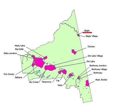
Below right we see a map of that region, with prominent locations marked. The town of Eagle is underlined, and the line of the Yukon River can be seen winding down to the town from the north west. (These maps can be enlarged by clicking on them.)
Below right we see a map of that region, with prominent locations marked. The town of Eagle is underlined, and the line of the Yukon River can be seen winding down to the town from the north west. (These maps can be enlarged by clicking on them.)
